Gerti Sillaber plied us with schnapps at her Pension. "Welcome to Tirol" she said. We have two days of sunny weather to come, but that looks like being our entire summer !! "
In the event, Loch, Dolly and I did rather better than that:- we had to shuffle the options of possible "Klettersteig" (via ferrata) routes we'd researched -- some being short-ish outings -- but we did (just) get out every day.
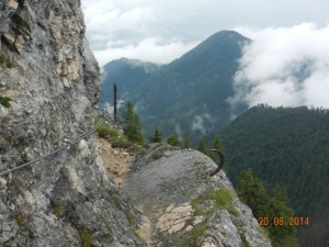
At first, on a day of low cloud with rain forecast, there was nothing better to do than go up the local mountain behind Soll -- the village where we'd landed. The Grosser Polvern provided a 5.5 hour ridge walk (in trees at 1500 metres) which ended with a steep protected path down a 120-metre cliff.
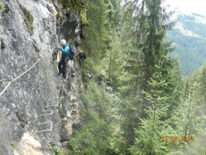
Our second day was also showery weather, and we drove to the Zillertal where the Riederklamm gorge is only 10 minutes walk from the road. Here the gorge walls have been provided with a "sporty" klettersteig route, which got quite atmospheric at times high above the noisy stream.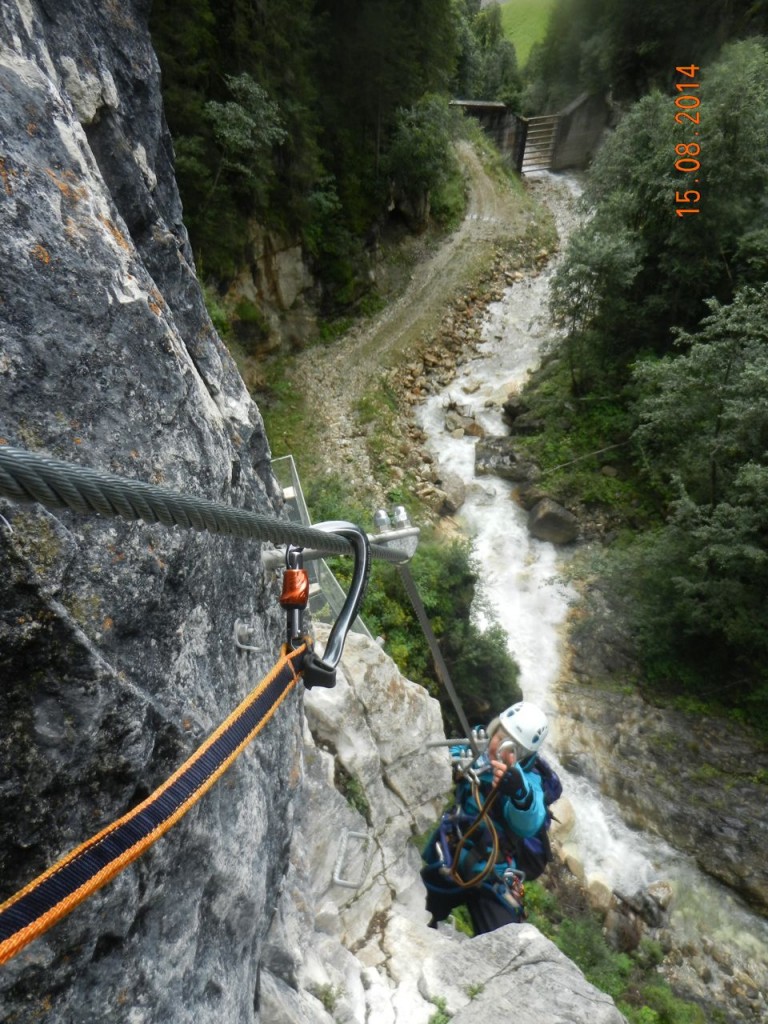
At last it was time for the well-forecast good weather; so we decided to use these good days to get onto the high mountains. Two routes in our 'portfolio" provided long mountain ridges, with the added benefit of lifts to the starts, so that we had no uphill plodding and immediate access to the scrambling.
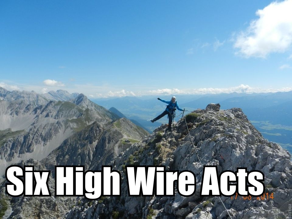
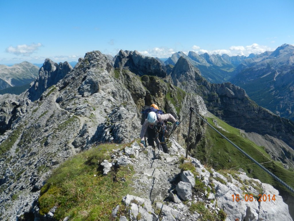
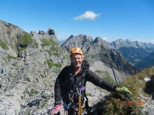
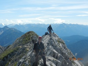
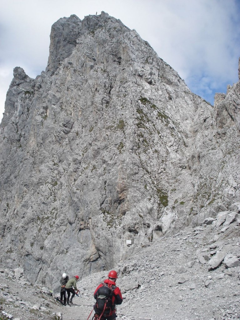
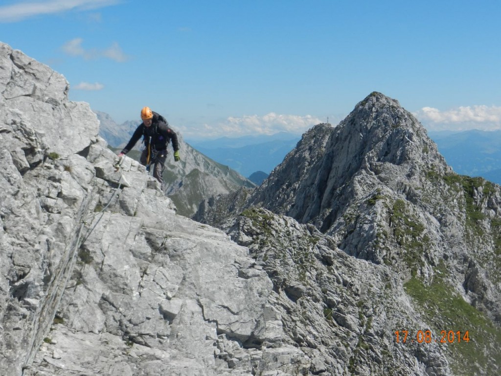
Firstly the Mittenwalder Klettersteig. This is a narrow ridge (at times knife-edged) about 3 kilometres long (same length as Aonach Eagach) and on average 1400 metres (4600 feet) above the valley, crossing 4 summits around 2350 m. The wires and occasional ladders smooth away what would otherwise be very difficult sections, to provide straighforward access to some sensational positions, giving glorious views eastwards into the inner Karwendel, and westwards to the Zugspitze.
The actual crossing took us somewhat over 3 hours, but then comes a 1400 -metre walking descent, and another 3km back to the car park, making a full day out ! Fortunately a hut halfway down provides the necessary.
Next day the Innsbrucker Klettersteig ... the bigger brother.
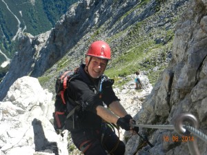
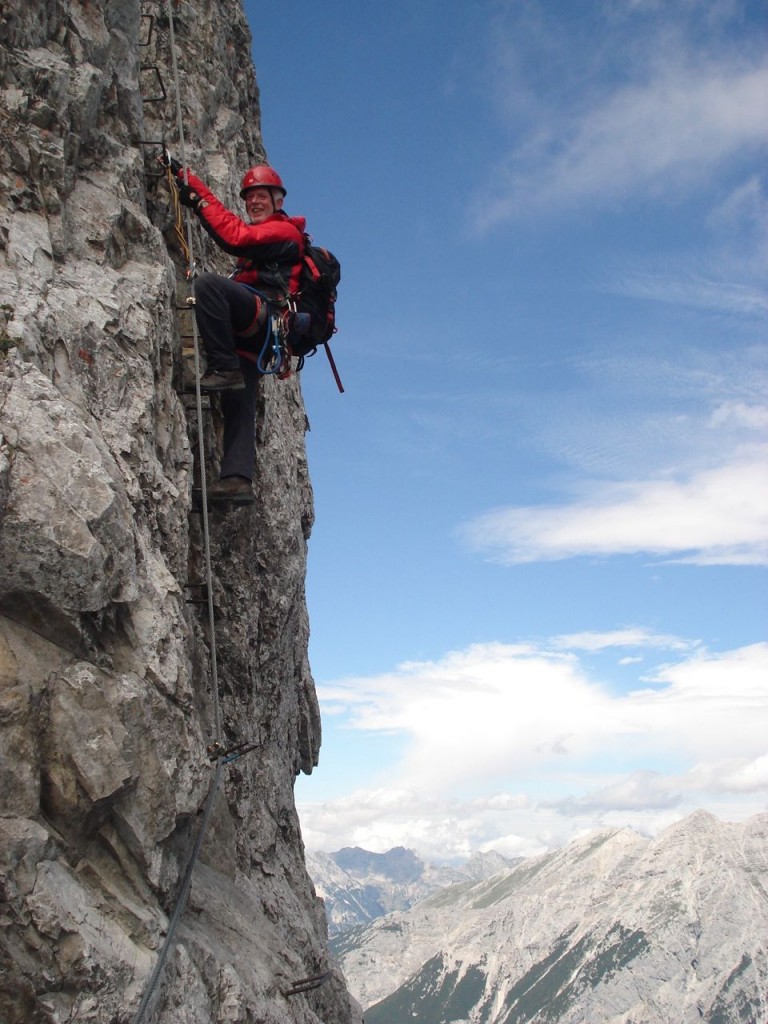
Starting from the Hafelekar station above Innsbruck at 2256m, the ridge is less than 2 km long, but clambers over 7 mountain summits around the 2450 mark. It starts immediately with a stiff near-vertical climb on iron rungs, and includes many short rock steps and narrow passages, plus a short bridge.
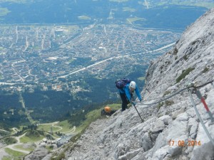
The exposure was possibly the greatest we saw, since in the event of becoming disconnected, you wouldn't stop bouncing down for about 300 metres. However , clipped on, the equipment would halt a fall after just a few metres drop. In theory.
The 2km ridge took us some 4 hours to cross to the Langer Sattel. Conveniently, an easy path then leads back from this grassy saddle, to a halfway station on the cable car.
(There is a further extension west of the Langer Sattel, but as we'd not reached the start ladder till 11 am, time was running out).
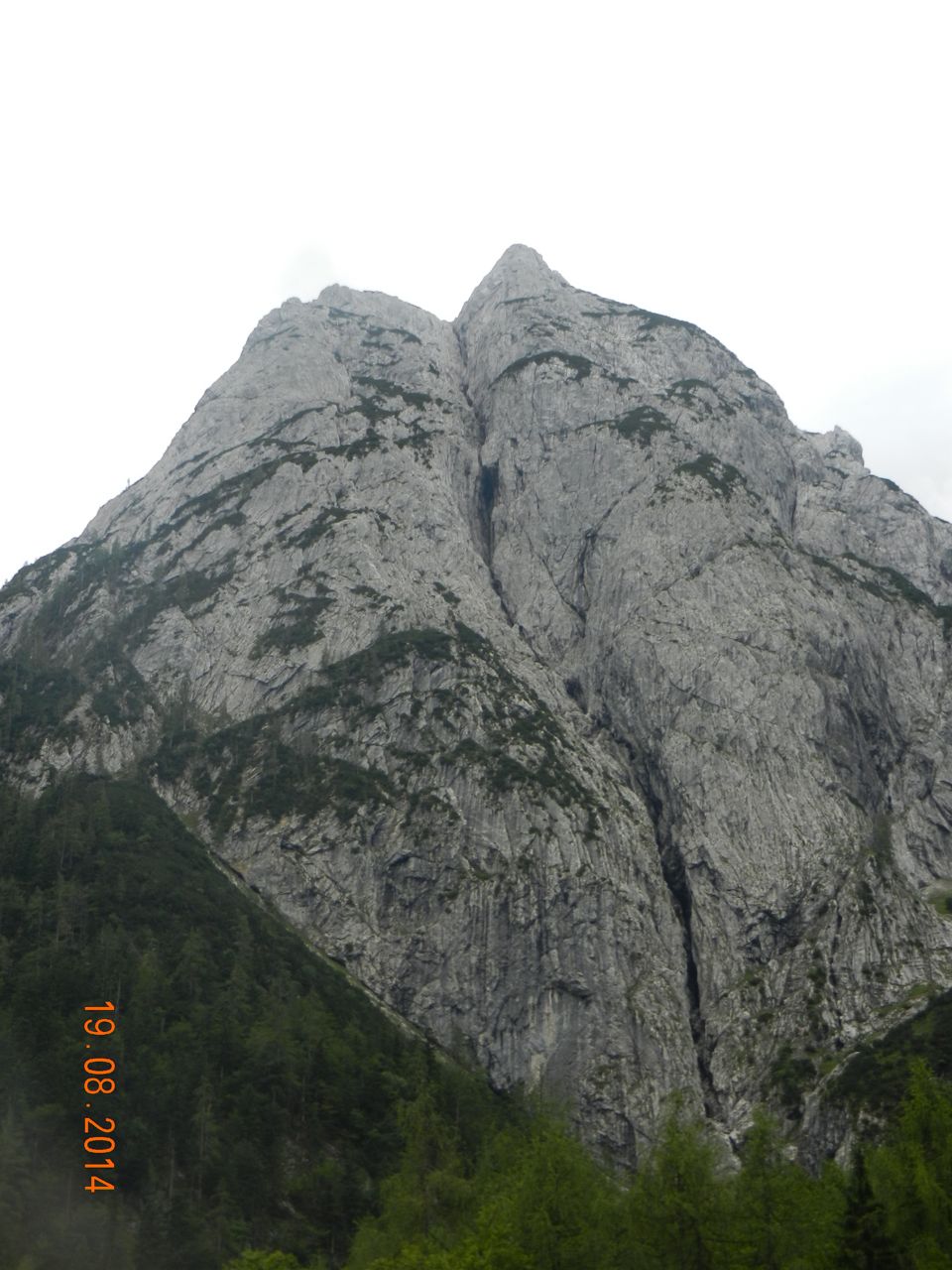
Now the weather seemed poised to go downhill again. However, to the east we chose the Steinplatte, a "small" mountain of 1869 metres, sporting a big cliff of 200 metres near its summit.
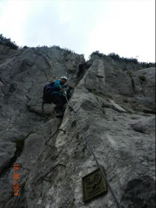
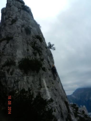
Up this goes the "Schuster Gangl" which we reached by 40 mins walk from a high car park, as the weather, though cloudy, stayed dry and clear. The route goes steeply up a succession of chimneys and grooves, with several near-vertical sections.
Eventually, about 130 metres above the start, it arrives at a detached pinnacle of rock.
Whilst it's possible to take the old way through the gap between the pinnacle and the main cliff, there's now an option to take a rising traverse round the outside of the pinnacle itself. It's very airy with over 100 m of fresh air beneath your feet, and quite strenuous. 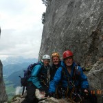
Then its almost de rigeur to have a small wire bridge to re-join the main line. Phew !! puff, puff. Photo call.
Just as we thought the piece de resistance had been passed however, came the top two sections which involved some steep and awkward chimney work, with a large number of rock holds. Even a fist jam. 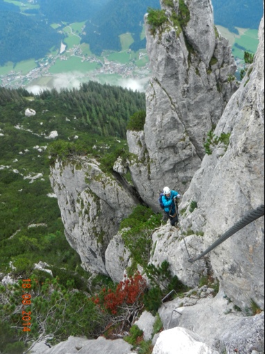
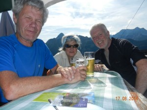
We very much deserved a late afternoon drive up the high valley of Kaiserbachtal, for a pint at the Griesner Alm hut and some close views of the staggering rock faces of the Wilder Kaiser.
Finally, came a truly dreich day straight from the West Highlands. The cloud clung to the hillsides down to quite low levels, so it was time to sample the delights of Innsbruck, (although they are few, and unexceptional). In the late afternoon, we drove back in the Munich direction, and walked up for 1.5 hours to the delightful Brunnsteinhaus, our springboard for the return journey home.
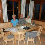
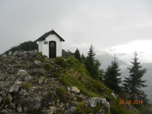
Sadly, this was to be our only mountain hut of the tour. It's a very nice hut indeed, and we ended up round a table talking to the "stammtisch' (regulars) who are a set of cow-herds living seasonally on the mountain. Behind the hut, the Brunnstein is a modest but pleasant hill, which has a short 100 metre protected path through crags to a small summit, which includes a tiny chapel maintained by the local Mountaineering Club.
Perhaps we should have lit a candle in the chapel, to hope for slightly better weather next time ? Or maybe our candle should have been a thanks for the blue-sky days we had, and a dry climb up the Schuster Gangl. ?
ANDREW


