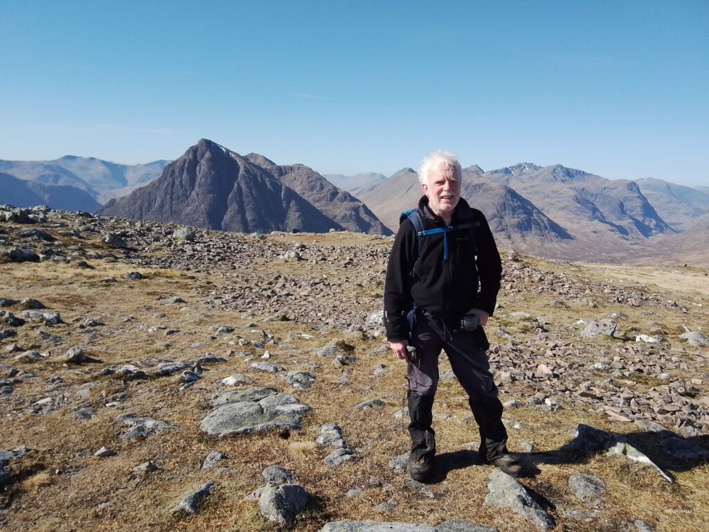
Across the Corran Ferry from the bottom of Glencoe, lies the great peninsula of Ardgour, Morvern, Sunart and Moidart. It runs all the way west to Ardnamurchan, the most westerly point of the British mainland. Similar size to the English Lake District, but only sparsely populated and far less visited, there are 18 summits over 2500 feet (and many more besides).
Out there, lay our main business of the weekend, but Ewart and I took Friday as well, to have an opener up Stob a Choire Odhair near Bridge of Orchy.
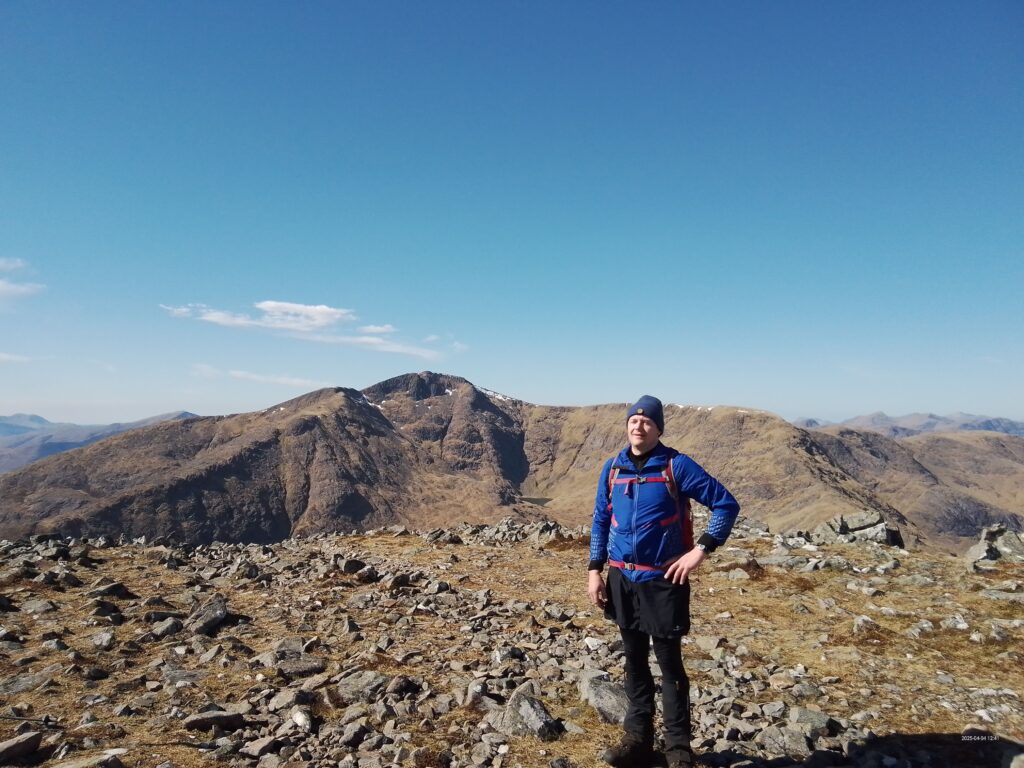
The glorious weather gave spectacular views over Rannoch Moor and Beinn Achalladair.
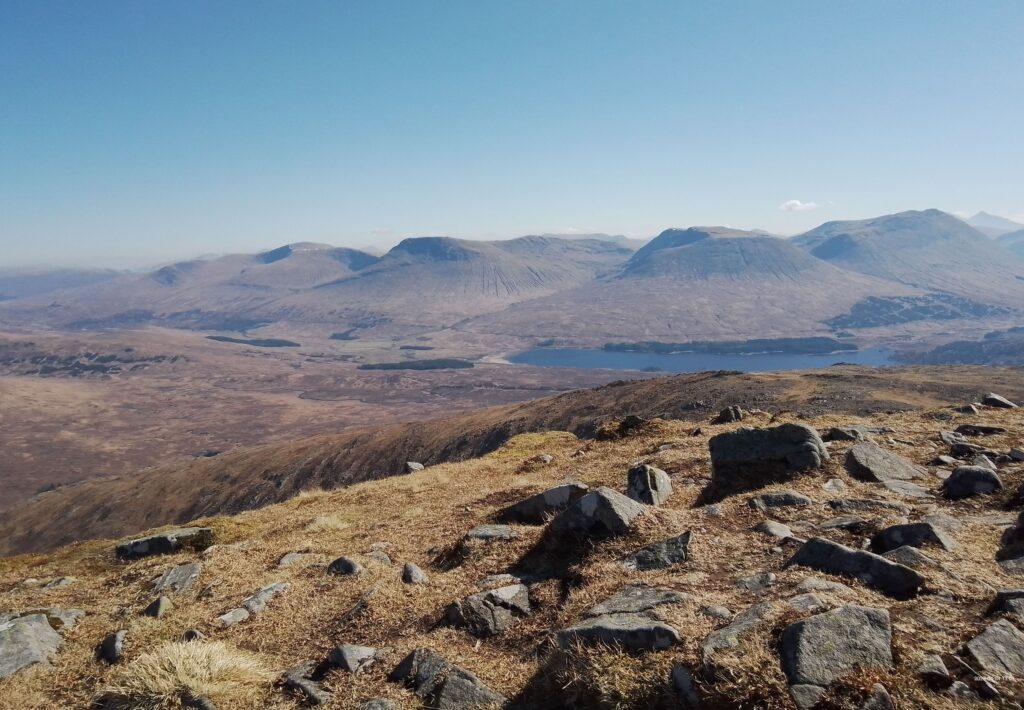
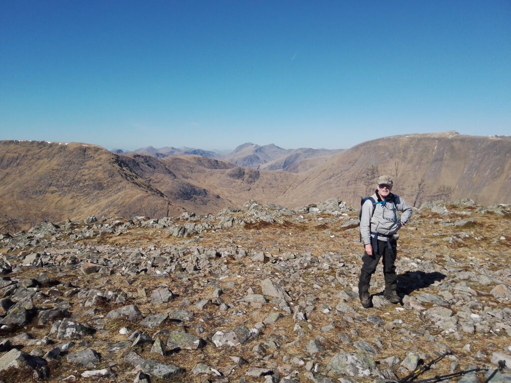
Then we were joined by Paul at the OMC Cottage, Crianlarich.
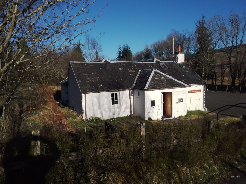
An early start was called for next day. I had made a casual mental note about Fuar Bheinn and Creach Bheinn, from the SMC guide, but this trip came off the back burner at quite short notice, and it dawned upon us that it was going to be a big day out.
There's a real “back of beyond” feel to the tiny single-track roads in Morvern.
Glen Glamadale is extremely steep-sided. In fact, once embarked on the circuit of its summits, there is almost no way off. Only at one place is it practically possible to cut things short, and that comes after the main effort.
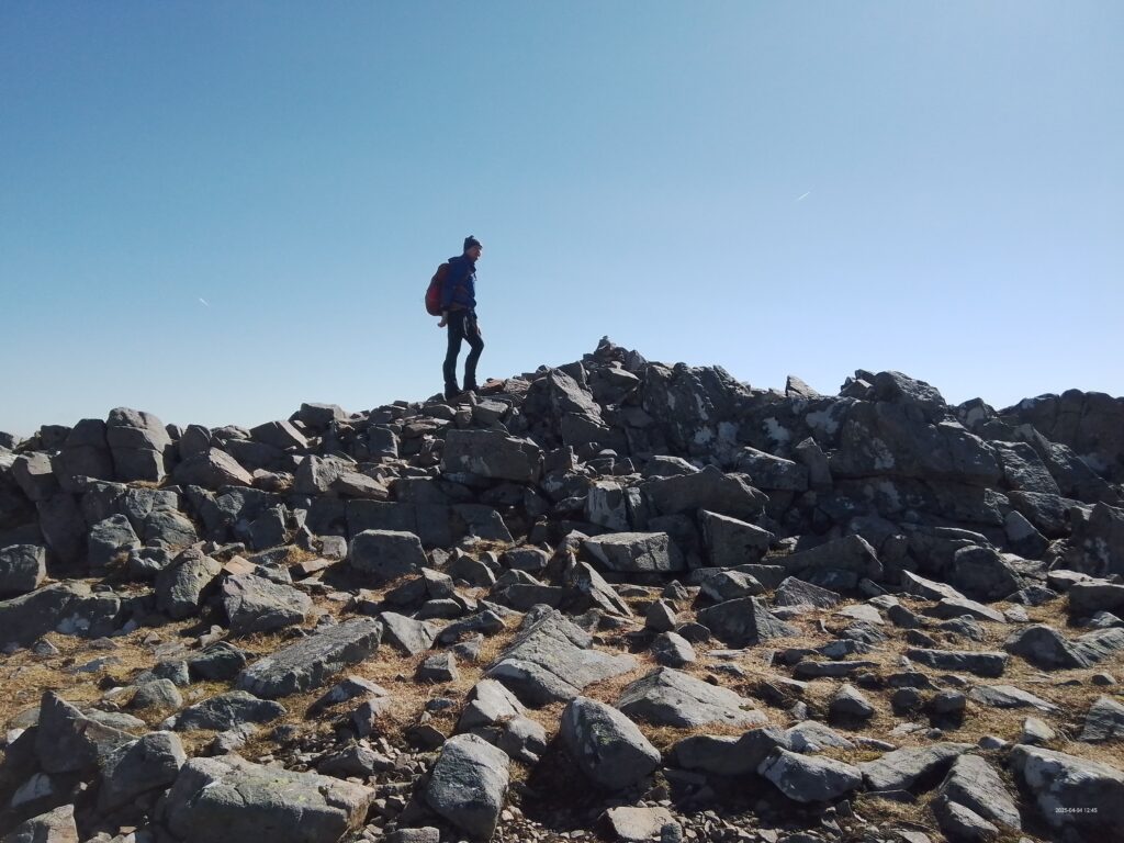
The route begins from sea level with a 653 metre climb to the first top. Beinn na Cille. Unremittimgly steep, and with so many false summits, there ought to be a law against it. Next, it plunges down again to a bealach, then climbs back up again. Repeat. And repeat. . The terrain is frequently rocky, strewn with boulders and craglets. The whole circuit, in fact, is trackless (just the occasional faint trod). However springtime is best (before the bracken shoots up ) !
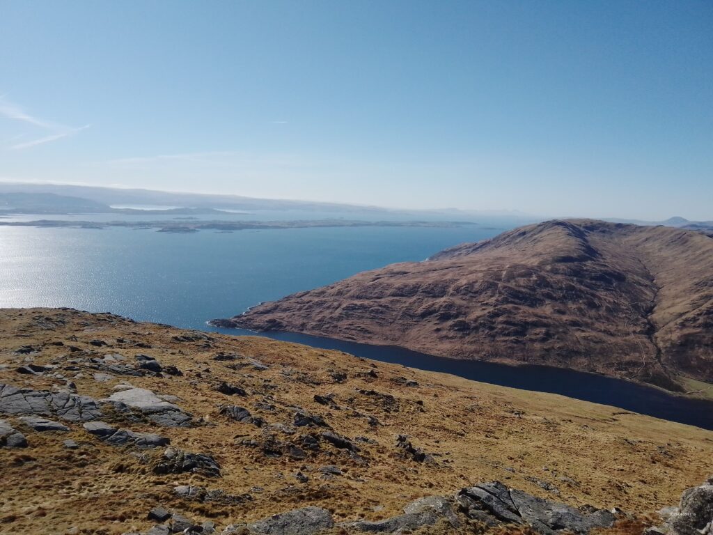
All the while, though, tremendous views. North to the Ben, east across Loch Linnhe to Beinn a' Bheitheir, Etive, Oban, Ben Cruachan, south to Ben Mor on Mull, and on the western horizon, the Rum Cuillin and the Black Cuillin of Skye.
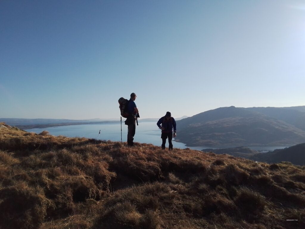
Almost below our feet, the long flat Isle of Lismore. An ancestor kept the lighthouse there, 150 years ago.
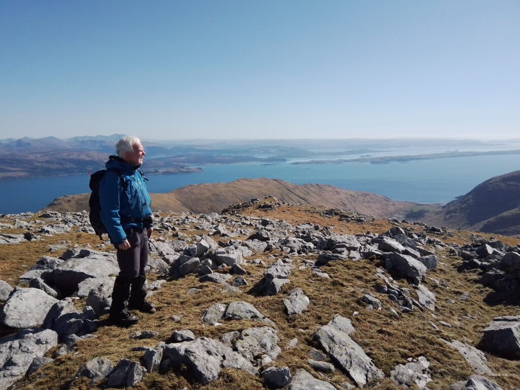
Along the easern side of the horseshoe, the terrain eases a little, but the ends with a steep and tiring descent back to the start point. Pauls GPS told us we'd covered just over 5000 feet of ascent.--- about 1526 metres.
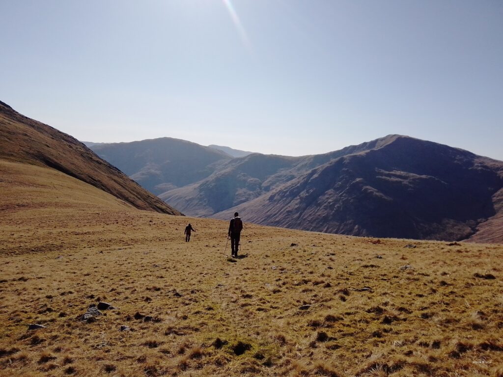
It occurred to me afterwards, that this means a total height variation of 10,000 feet, and spread over (only) 10 miles, that gives an average gradient of 1 in 5 for the whole of those 10 miles. Hmm.
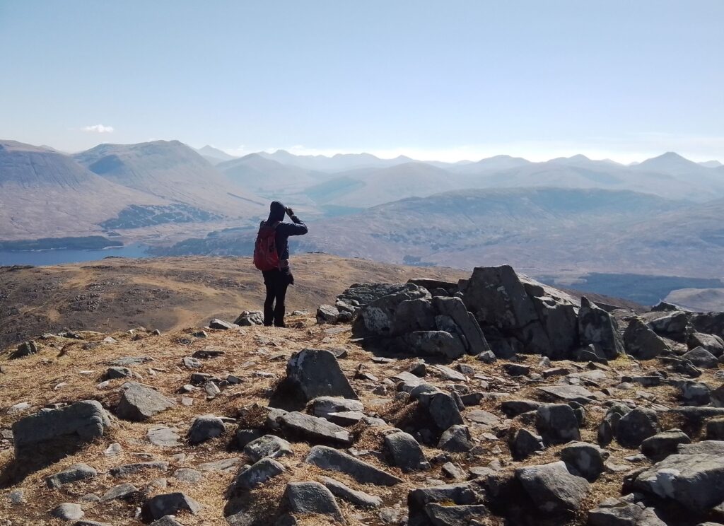
We thought of a wild camp in Morvern, but not finding a suitable spot as the sun sank lower, we pitched up at Red Squirrel back in Glencoe. For Sunday, a convenient and easier day had 100% vote, A very few miles brought us to Beinn a Chrulaiste, opposite The Buachaille.
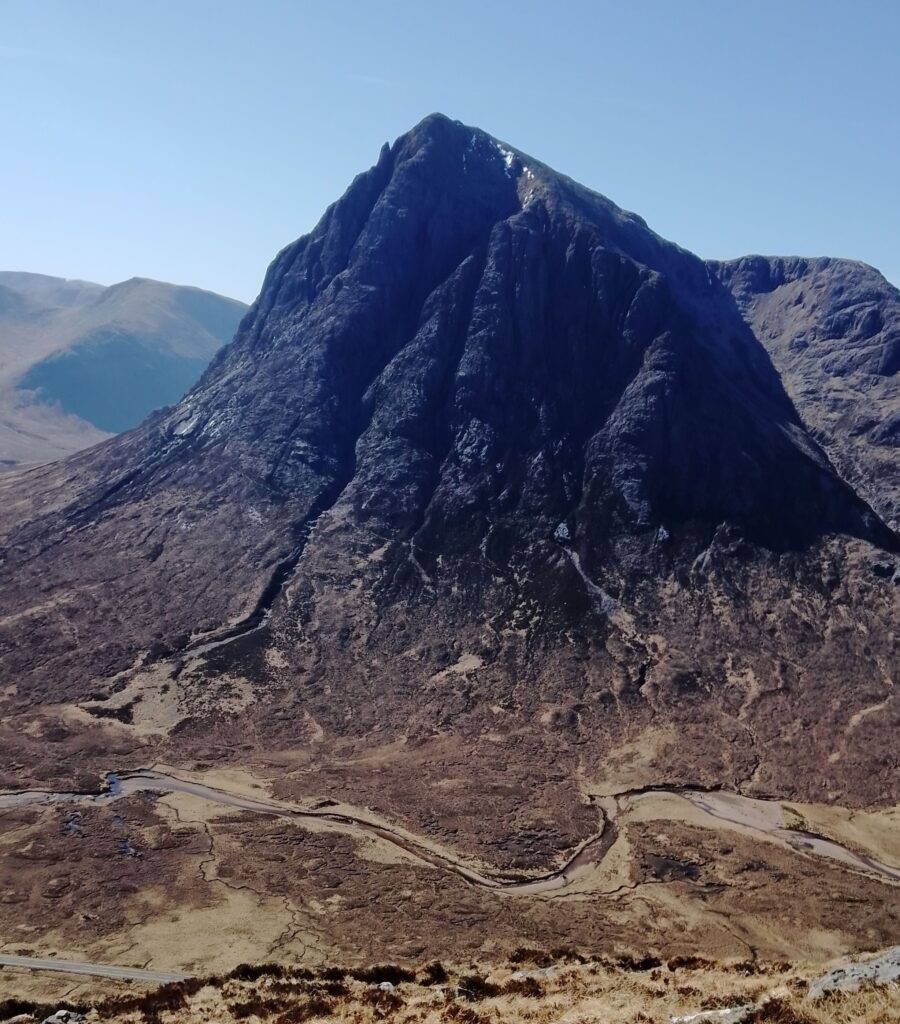
I have seen before the views from this summit, and Paul and Ewart were not disappointed.
This mountain is seriously undersold : it provides a fantastic panorama stretching from Beinn a' Chreachain and Beinn Achallater all across the Blackmount to the Buachaille and south Glencoe, even with Ben Starav peeping through a gap.
There are 360 degree views. To the north, lies The Ben, the Aonachs, Grey Corries et cetera.
So many mountains. So many memories. From each of them. ANDREW
