Dornoch to Ullapool - a Highland
Coast to Coast
In the Churchyard, old tarpaulins had been strung between trees to make the most primitive shelter. The women tried to hang blankets to screen off sections for the 18 separate families. The men simply sat, expressionless, unable to come to terms with the event.
Most of the inhabitants of Glen Calvie had been turned out of their crofts. Some 92 people huddled under the tarpaulins, for several days they stayed there. Eventually, after receiving a payment for their animals and crops, they were turned out into the unknown wider world, men and women, children and the aged.
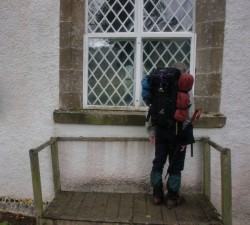
Steve reads the names from 184
No trace of them remains from that day of Highland Clearances in June 1845, except their
names and comments scratched into the glass of Croick Church east window.
All the glens, and the church, stood quiet as we passed.
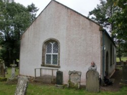
Croik Church
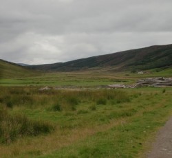
Steve Whitehead and I were following up last years traverse of Fisherfield with another long walk, this time to cross the Highlands "Coast to Coast" at the narrowest point between the salt water and seaweed of Dornoch Firth, and the western port of Ullapool - a distance of about 45 miles. Not rising to any great height, but it crosses some of the least-populated country in Britain.
We'd begun by passing Carbisdale Castle overlooking the Kyle of Sutherland, known as "The Castle of Spite". It was built in 1907 for the Duchess of Sutherland, as a settlement after the bitter contest of the Duke's will.
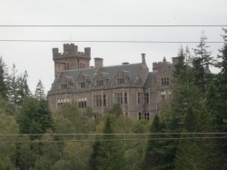
Castle of Spite
Just further, the hamlet of Culrain has a battle sign on the map. Turned out to be from 1650 - the final defeat of James Graham, Marquis of Montrose, claimed as one of Scotland's greatest ever soldiers.
Strange co-incidence, since the last time I camped out in Scotland was last April, and it had been at the ruin of Ardvreck Castle, where Montrose fled, only to be betrayed by its owner Neil MacLeod of Assynt. www.yorkmc.org.uk/suilven-and-friends-a-northwest-passage/
Montrose was taken to Edinburgh, where he was executed on 21 May 1650, using the traditional method for traitors: hanging, drawing and quartering.
Out of Culrain, a forestry track led up to a ridge of hills. Good views before we got thick mist and a heavy wetting, and were glad to drop down to Croick.
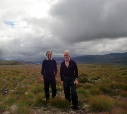
And then onwards up the long, deserted glen. After some 17 miles and 650 metres ascent, we pitched the tent and got a fire going, with the glen to ourselves.
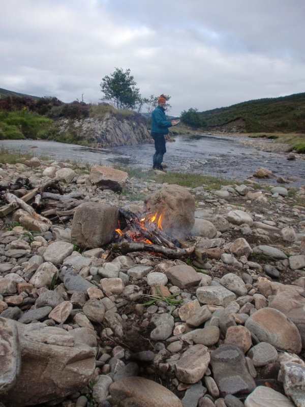
Day 2 was shorter at 12 miles, and began in the pathless upper reaches of Strath Cuilleannach, and a great empty saddle of moorland connecting to Strath Mulzie. Nothing seemed to move in the entire landscape; but at last the huge spire of Seanna Braigh (Creag an Duine) was to be seen about 6 miles off.
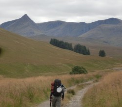
Under the cliffs of Seanna Braigh, lies Magoos Bothy.
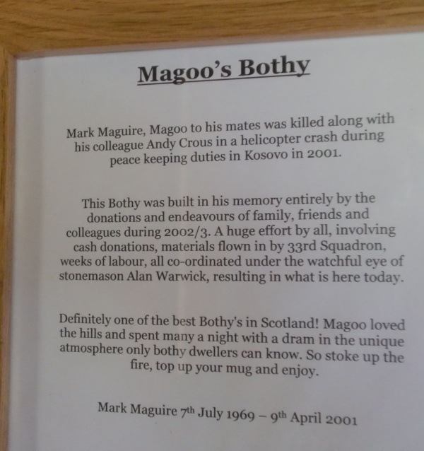
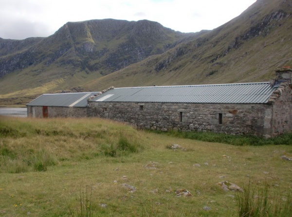
Supplies of both firewood and whisky were sufficient, so we made ourselves very comfortable until just after bedtime, when the rain began to hammer on the tin roof.
It looked like we were in for another wetting on the remaining 16 miles to Ullapool. (A day when yet again we saw hardly a single person). Fortunately, it didn't turn out so bad as that, as we made our way over the actual east/west watershed between Strath Mulzie and Glen Achall.
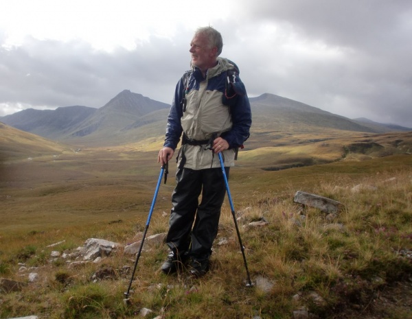
A remarkable gorge took us to the long glen westwards. Then came the typical structure of the glen:- shooting lodge / small farm / big house / fishing town. By late afternoon we were shopping in Ullapool for steaks and wine.
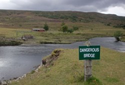
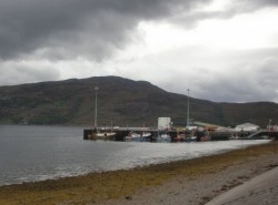
We'd crossed the northern Highlands from one sea to another; and in doing so we'd collected 4 stories which waymark most of the Highlands relevant history....... the disorder and brutality of earlier times / the collapse of the old ways and sadness of the Clearances / the fabulous fortunes sunk into the Highlands from industrial Britain to make the great Victorian estates / the modern Scottish serviceman, killed abroad, and commemorated by a bothy open to all with the Right to Roam. A crossing in both space and time, then.
ANDREW


