


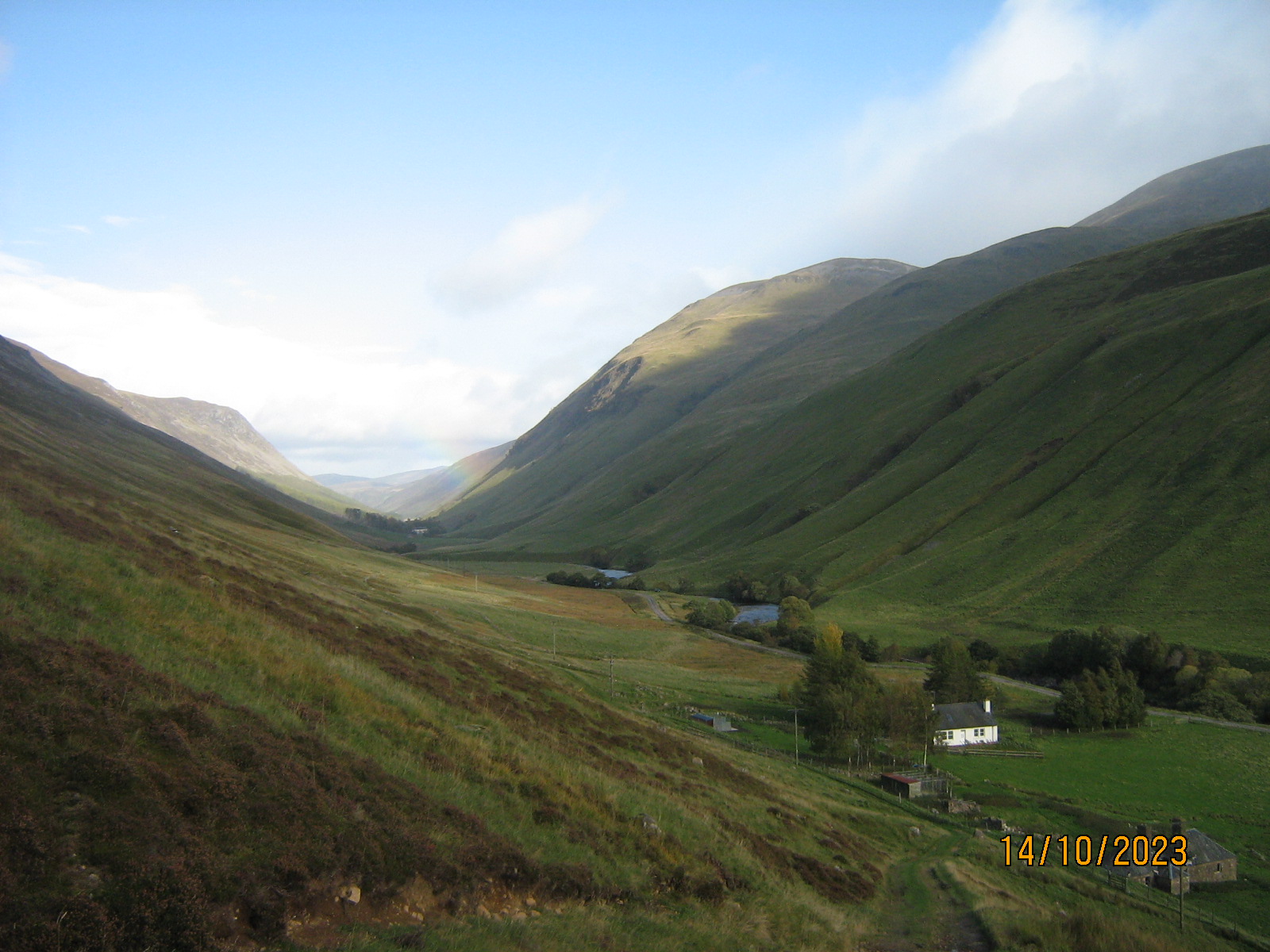
And did some god in ancient time, crash down his battle-axe upon these hills ? You might think so, looking at the great wound of Glen Tilt. It runs for miles from Blair Atholl, a gash one thousand feet deep and mostly, straight as an arrow.
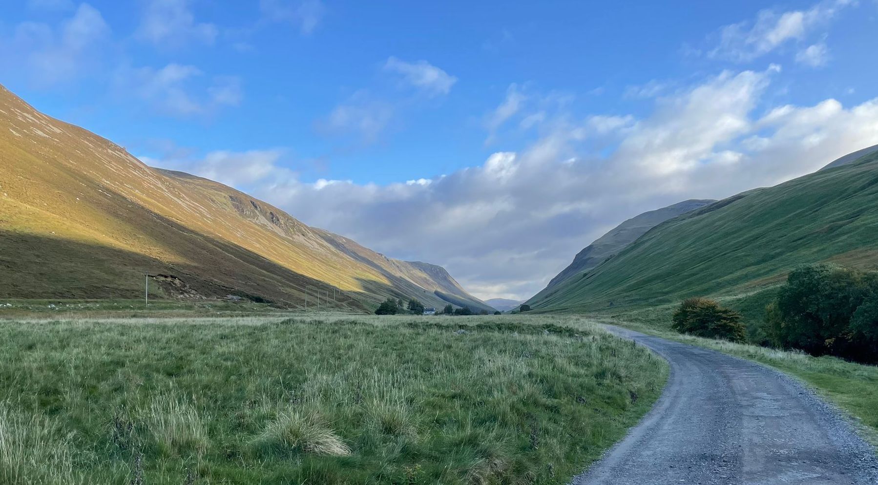
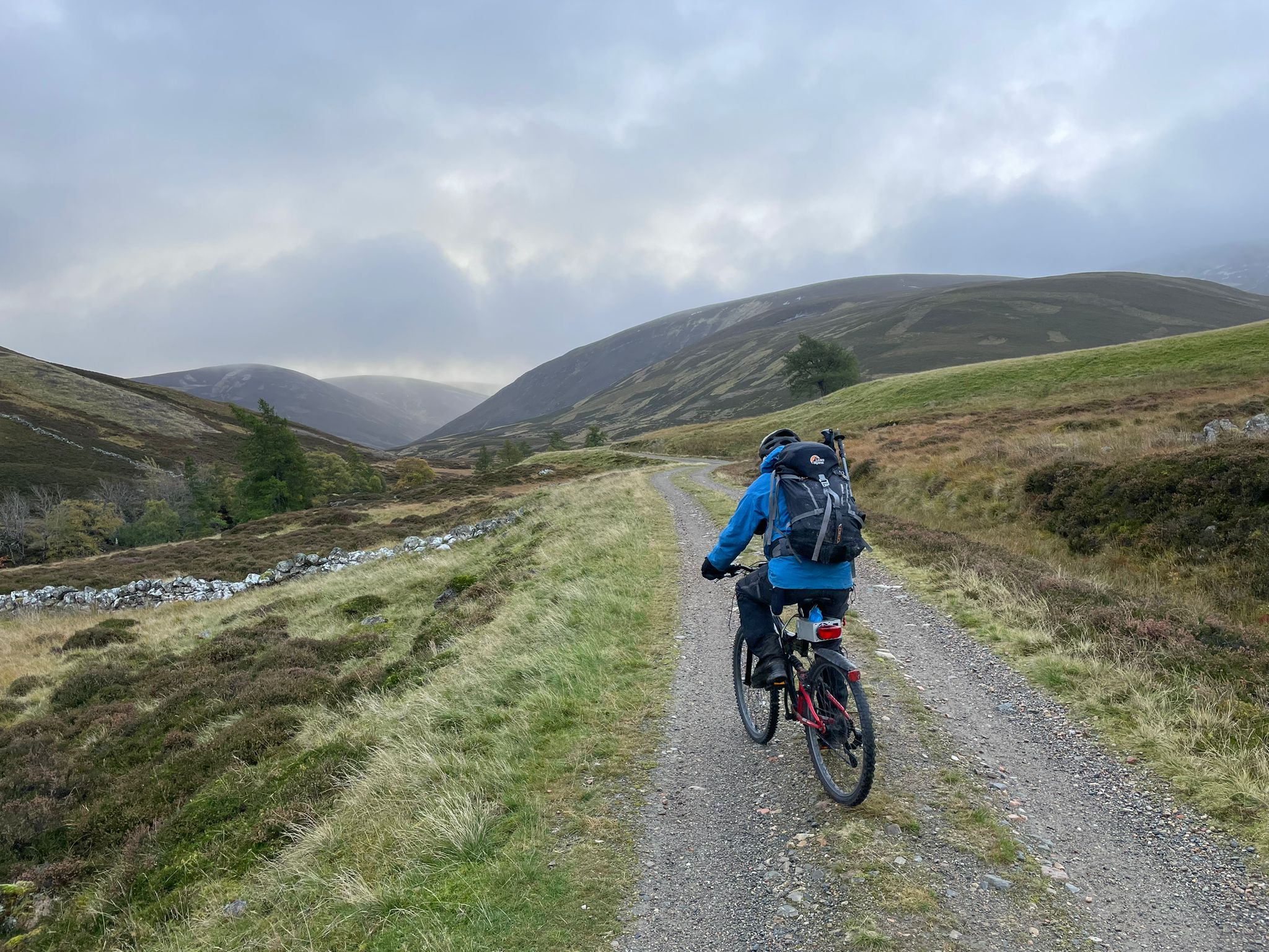
Steve M and I cycled the 8 miles from Bridge of Tilt to Forest Lodge. With stags bellowing in the glen around us, we took the evenly-graded zig-zag trail (of the kind made for deerstalking ponies) steeply up the north side to reach the lip of mountains.
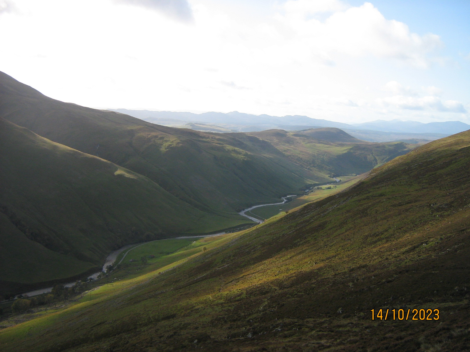
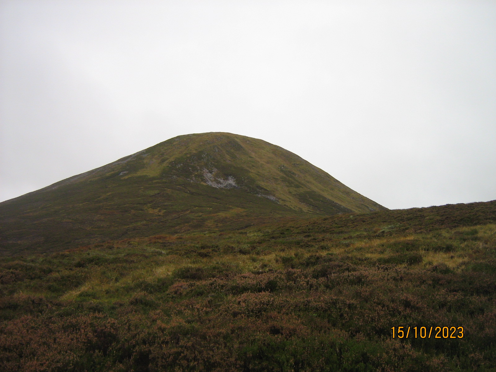
Carn a'Clamain is the Munro summit which protrudes an extra 100 metres or so above the general level of this mountainous plateau.
I have visited Beinn a Ghlo (on the south side) several times, but it is more than 26 years since I was last at this place. One July Friday in 1997, Mike Spence and I left York in the afternoon, and slept at Allt Shaicheacan bothy 8km north of Blair, a stepping-stone on the Saturday for Beinn Dhearg, followed by Carn an Fhidleir and An Sgarsoch (two of the most remote mountains in Britain) and a night at the Tarf Hotel bothy before collecting Carn a Clamain on Sunday on our way out. A lot of water has flowed under Bridge of Tilt (and other bridges) since then.
Steve's objective for Sunday was Glen Ey, west of Braemar. Despite a good forecast, the day dawned cloudy and dull as we drove up from Pitlochry. Another cycle-in, about 5 miles and 160 metres uphill, got us to the lonely ruin of Altanour Lodge.
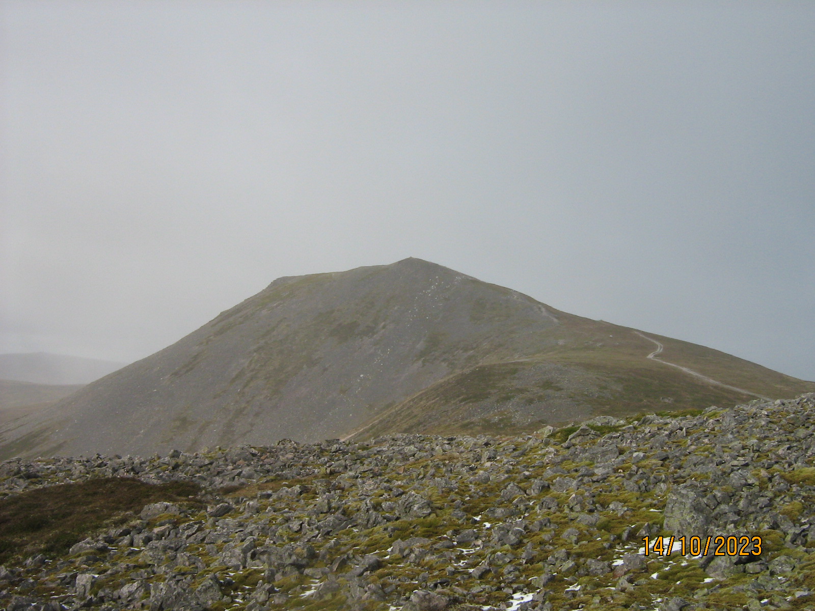
A couple of Km walk to the foot of Beinn Iutharn Mhor, which has a very steep east nose.
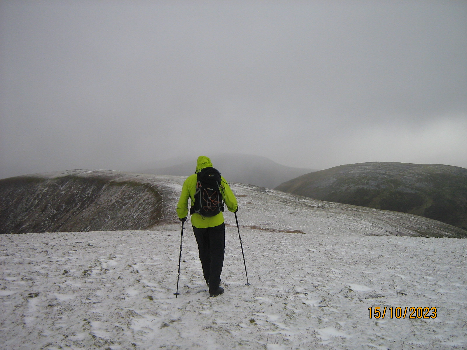
Treading carefully up the damp steep path we came out onto the broad ridge around 750 metres, and shortly, onto ground white with a dusting of fresh overnight snow.
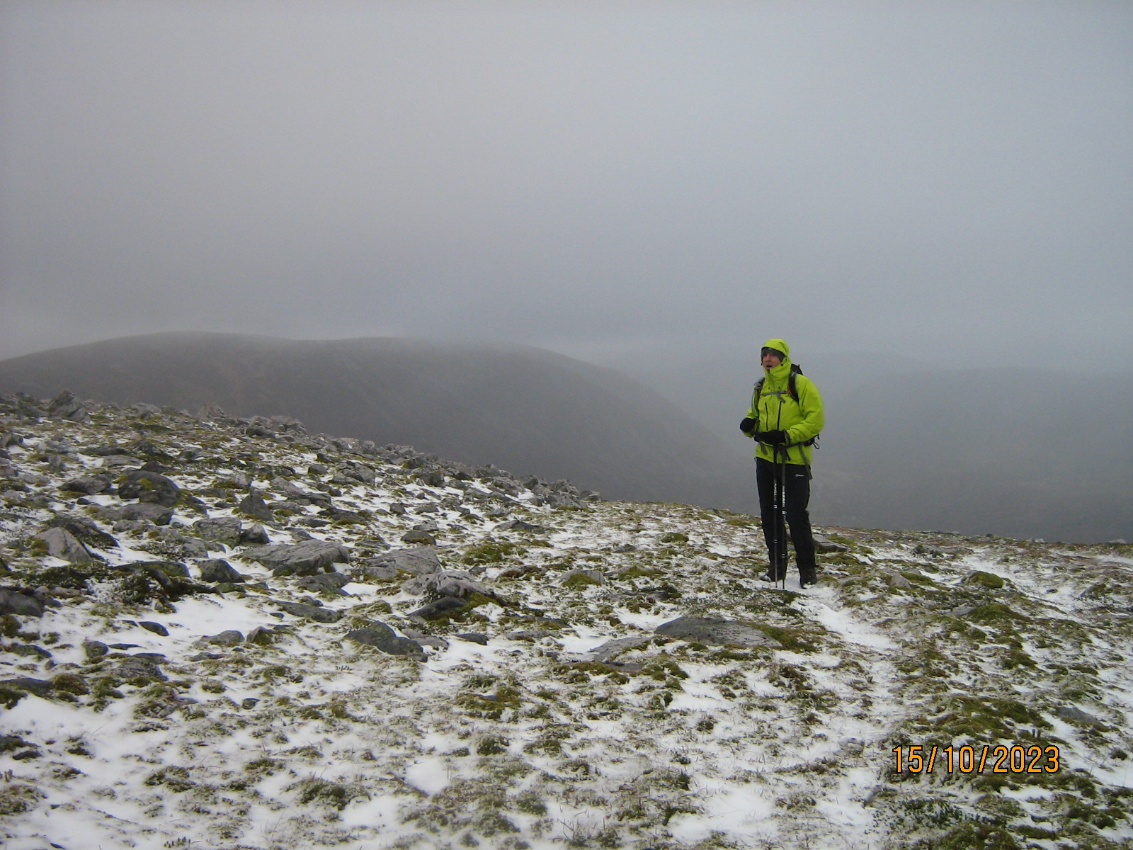
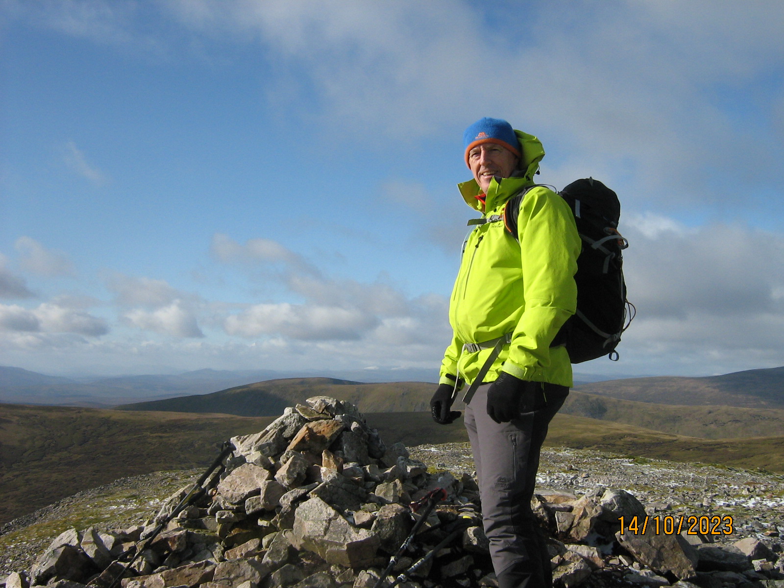
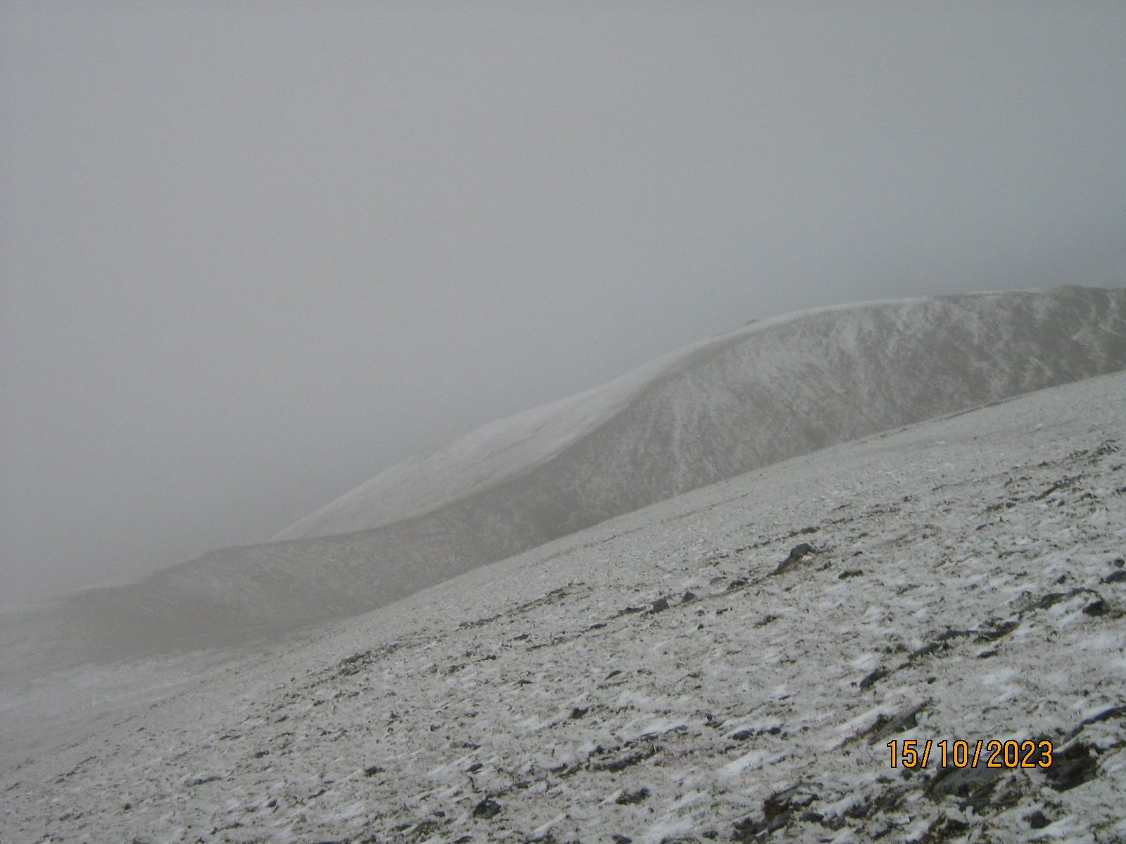
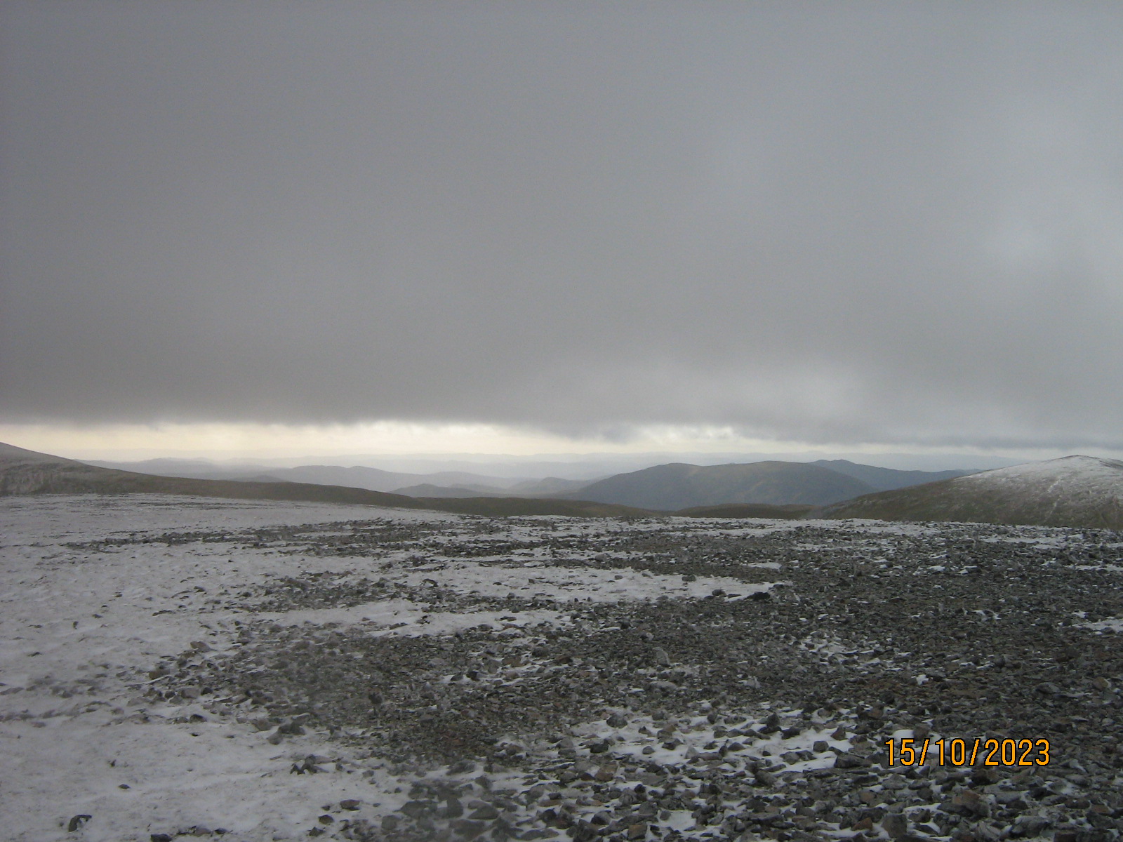
There was a strong north wind, cold and buffetting. Heads down, and a long 2km at high level to find the summit. (1046 m) The curving ridge would appear beautiful under less demanding conditions.
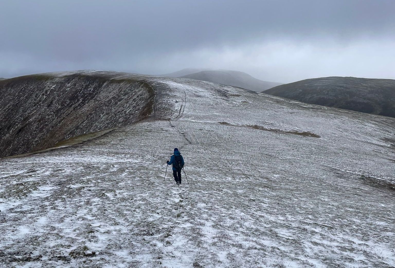
In case of visibility being lost, we were keeping focussed on our orientation and the lie of the land.
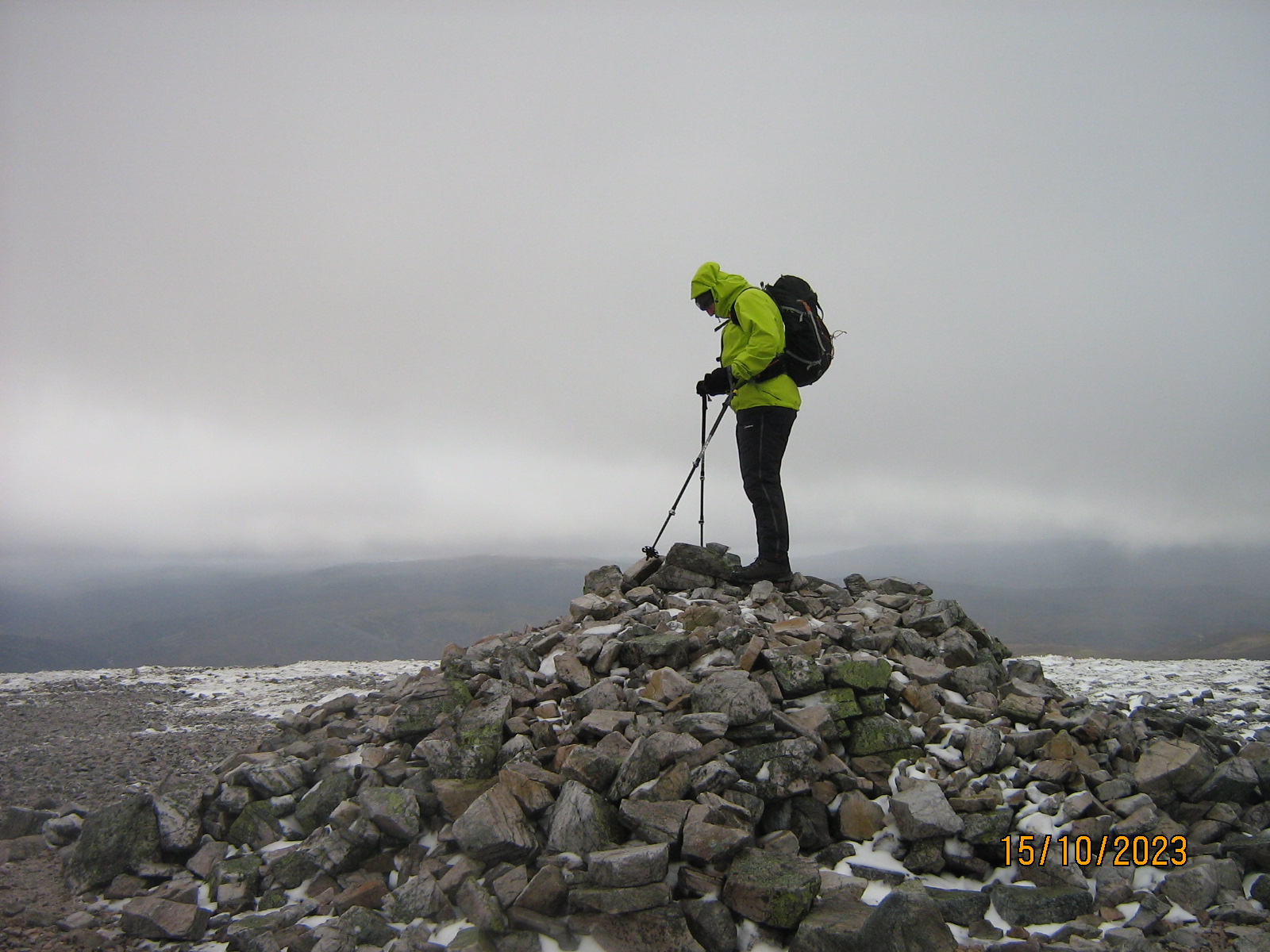
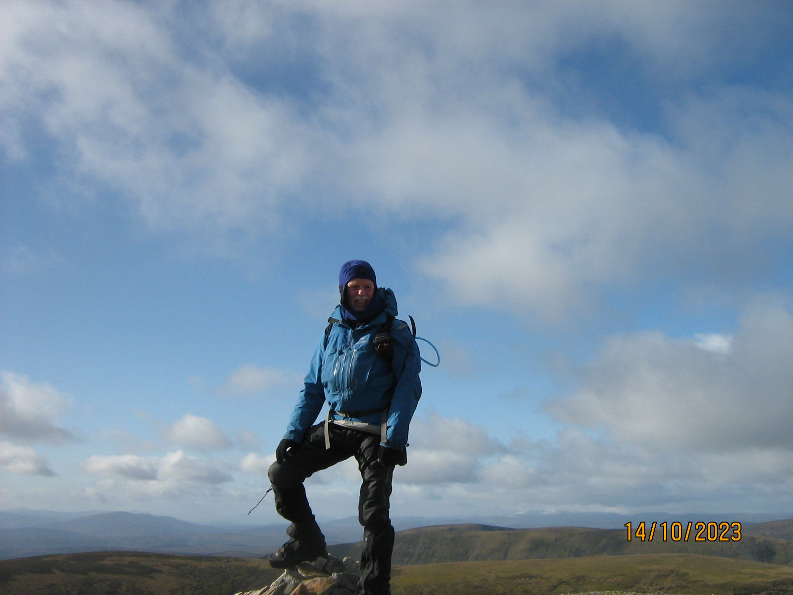
Finally Steve was able to punch his Munro card, but it wasn't the place for a picnic, so reverse-route we marched.
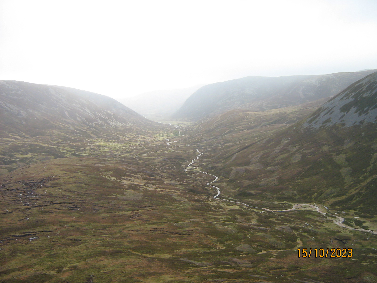
Cycling back out, we paused a couple of times to take stock of the large empty valley, and to stand in the low walls of a long-ruined house.
It seems, that the glen was de-populated around 1830 when the Earl of Fife decided that shooting revenue would be much greater than the low rents (often un-paid). Altanour Shooting Lodge was built in 1838. I found a detailed history at the Cairngorm Club website, but it's all gone now, and above tha hamlet of InverEy, the glen stands lonely and totally uninhabited.
ANDREW
http://www.cairngormclub.org.uk/journals/PDFs/Articles/J103/The%20Cairngorm%20Club%20Journal%20103%20-%20Glen%20Ey,%20a%20History%20WM.pdf